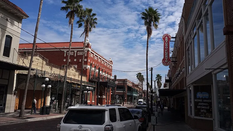
Get to know Ybor City
Ybor City brings cigar-making history, distinctive commercial streets and neighborhood life together northeast of Downtown Tampa. Seventh Avenue is a useful introduction, while a museum visit, an evening event and a residential address require more specific planning. The visitor district, historic designations and mapped neighborhood-association areas have different purposes.
Choose the purpose of the visit first, then group two or three nearby stops. Use the current streetcar map or the correct parking operator, and confirm the return journey. A restaurant reservation, museum visit or venue program should each be checked with its actual operator.
Start with these local connections
- Seventh Avenue streetscape
- Ybor City Museum planning
- Streetcar connections
Give the history time and context
Ybor City Museum State Park provides a focused route into the community’s history rather than relying only on a quick walk along Seventh Avenue. Use the state park’s current visitor information for admission, opening days and the experience available on your visit. Historic buildings, businesses and public spaces can be appreciated from the street without assuming their interiors are open.
Look beyond a single attraction when learning about the area. The historic visitor core and adjacent residential streets share a local story but do not establish one universal administrative boundary. If researching a property or preservation question, use the city’s official maps and responsible planning office.
Use the streetcar as a district connection
The TECO Line Streetcar connects Ybor City with the Channel District and Downtown. Its current how-to-ride page supplies the route and service instructions. Choose a station based on the actual destination, then check the operator before an early departure, late return or major event. A district connection can be convenient without replacing every part of the journey.
If parking, compare the municipal route with the instructions for the specific garage, space or private lot. City and private facilities can use different payment and enforcement arrangements. Do not infer current prices or free hours from an older parking map, a photograph or a listing copied by another website.
Treat daytime, evening and resident needs separately
A history-focused morning and a late venue event need different opening, transport and accessibility checks. Confirm the address, reservation or ticket, entry conditions and return route with the operator. For a quieter visit, choose a small number of specific stops and leave time to move between them.
For residents, the association map is a way to identify a local organization and its recorded area. It is not a school-attendance map, voting district or guarantee that every address is part of the same historic designation. Use the linked school and civic resources with the full address, and follow the relevant city office for an official decision.
Schools, civic contacts & everyday resources
Use your full street address for school and electoral questions. A city name, neighborhood label or nearby landmark does not establish the assignment for every home.
Official resource paths reviewed November 10, 2026. No household school or representative assignment is asserted here.
Local information reviewed 2026-11-10. Photograph date and rights are recorded separately.
Useful reading
Ybor City: make time for more than a night out
Explore a historic commercial district on foot, connect it by streetcar, and plan around the kind of visit you want.
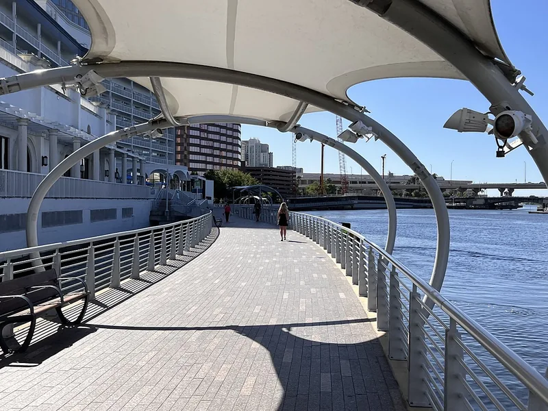
A better first day along Tampa’s Riverwalk
Choose a manageable stretch, connect the waterfront to nearby stops, and leave room for weather and the return trip.
Local sources & practical next steps
- Ybor City Museum State Park ↗
- TECO Line — How to ride ↗
- City of Tampa — On-street parking ↗
- City of Tampa — Neighborhood maps ↗
- Official local information ↗
- Find related places and mapped areas
- Explore Hillsborough event calendars
Use current city, county and operator information for an exact address, opening hours, service access and event details.