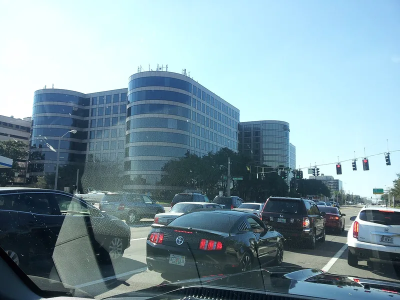
Get to know Westshore
Westshore combines offices, meeting destinations, hotels, shopping and residential connections in western Tampa. The business-district identity is useful for understanding the local economy, while a city planning overlay, a residential neighborhood and a particular development can cover different ground.
Start with the exact office, hotel, shop or meeting entrance. Compare how you will arrive, where you can park and whether a second stop is realistically convenient. A Westshore address alone does not establish a pedestrian connection, airport shuttle or public access to a private amenity.
Start with these local connections
- Office and meeting destinations
- Shopping and hospitality
- Nearby residential association areas
Use the district’s maps for the right question
The Westshore Alliance’s interactive maps separate development and transportation information. Use them to orient a business search, then confirm a property’s actual operator, current status and access. A development appearing on a district map may represent a proposal or project rather than a completed destination.
For a site-selection or construction question, follow the City of Tampa’s planning and design-overlay information for the particular parcel. The Alliance provides district context and business connections, while government planning requirements and a private lease involve separate decision-makers. Keep those roles clear before relying on a map.
Work out the whole journey
The Alliance’s getting-around resources connect readers to HART, shared-commute options and other mobility information. Use the current operator for routes and times. If a hotel advertises a shuttle, ask that property about its destinations, booking rules and operating hours; an airport-area location is not a transport guarantee.
Allow for the journey between destinations as well as the drive into the district. Confirm the building entrance, accessible arrival arrangements and return trip. For current construction, the Alliance’s transportation page directs readers to FDOT Tampa Bay rather than treating an older project plan as a real-time traffic notice.
Find a public outdoor break without borrowing private access
Cypress Point Park offers a public outdoor destination on Old Tampa Bay at the western end of Cypress Street. The city lists trails, a beach setting, disc golf, picnic and other facilities. Check the park page and reservation route for the activity you want; a public park does not make every adjacent property or water activity unrestricted.
Its location is used on this guide’s map as a specific orientation point, not as the center or boundary of the whole district. Pair an outdoor visit with the conditions and time available that day. For a business meeting, a school decision or a residential question, return to the exact address and the responsible organization.
Schools, civic contacts & everyday resources
Use your full street address for school and electoral questions. A city name, neighborhood label or nearby landmark does not establish the assignment for every home.
Official resource paths reviewed November 10, 2026. No household school or representative assignment is asserted here.
Find your bearings
Cypress Point Park is the orientation point on this map. The marker identifies one place; it does not draw the neighborhood, school zone or property boundary.
A public park orientation point on the western waterfront. Check current park notices and reservations; this pin does not define the Westshore district.
Show the orientation map
Open a larger map ↗ · Official location source ↗ · Map data © OpenStreetMap contributors
Local information reviewed 2026-11-10. Photograph date and rights are recorded separately.
Useful reading
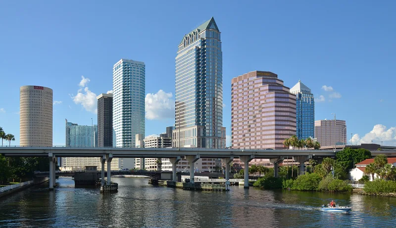
Selling to the City of Tampa: start with the right purchasing route
Use official solicitation and supplier instructions, prepare the right questions, and keep city opportunities separate from federal contracting.

Getting around Tampa Bay: plan the actual journey
Match your destination to the right transport system and check both directions before committing to a day out.
Local sources & practical next steps
- Westshore Alliance — Interactive maps ↗
- Westshore Alliance — Getting around ↗
- Westshore Alliance — Transportation & mobility ↗
- City of Tampa — Design overlay districts ↗
- City of Tampa — Cypress Point Park trail ↗
- Official local information ↗
- Find related places and mapped areas
- Explore Hillsborough event calendars
Use current city, county and operator information for an exact address, opening hours, service access and event details.