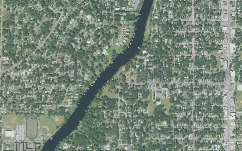
This guide joins one exact city neighborhood source record. Association, historic district and redevelopment boundaries may differ; private property and school assignment require separate address checks.
Get to know South Seminole Heights
South Seminole Heights lies east of the Hillsborough River between Hillsborough Avenue and Martin Luther King Jr. Boulevard, with Florida Avenue forming the city’s eastern orientation reference. Rivercrest Park introduces the river landscape, while residential blocks and businesses on the edges give the area its daily rhythm. The city records South Seminole Heights separately from Old Seminole Heights and Southeast Seminole Heights. Use that specific identity when researching a home, arranging a visit or asking about a local project.
Begin with Rivercrest Park at 4802 North River Boulevard, checking current city notices before relying on any riverside feature. Choose a short park visit and one separate business stop. Treat the approach, road crossing and return journey as part of the plan.
Start with these local connections
- Read the housing history in the streets
- Make Rivercrest Park a specific destination
- Do not turn the river into an imaginary public route
Read the housing history in the streets
The city describes a mix of 1920s bungalows, mid-century ranch houses and later construction. That variety is a more useful guide than assuming every property fits one historic architectural style. Notice setbacks, porches and the relationship between quieter residential blocks and the commercial streets around them. View houses from public routes and leave private yards undisturbed. For a purchase or alteration, use the actual parcel and city records to establish age, permits or any preservation requirements. Neither the neighborhood name nor a nearby historic district gives every house the same status.
Make Rivercrest Park a specific destination
The official municipal inventory locates Rivercrest Park on North River Boulevard and identifies its public recreation setting along the Hillsborough River. The city also maintains a Rivercrest boardwalk-renovation project record. A project listing and a general park opening label do not establish the present condition of every boardwalk, dock or launch. Read current notices and ask about the particular facility if it matters to your visit. Keep a dry-land alternative, and follow barriers or posted restrictions rather than treating an older photograph as proof that a waterside structure is available.
Do not turn the river into an imaginary public route
The park provides an identified public place beside the river; it does not make the entire residential riverbank a continuous public walking route. Private lots, docks and residential shorelines remain separate. Use signed park approaches and established public ways, then return by the route you have confirmed. Florida Avenue, Hillsborough Avenue and Martin Luther King Jr. Boulevard also serve businesses and traffic beyond the neighborhood. Pick the actual restaurant or service entrance before combining it with park time. HART’s current tools are useful for planning a specific bus journey and its return.
Connect the neighborhood to the right services
The city’s description places businesses along several edges rather than identifying a single enclosed shopping district. This allows a visit to combine residential history, park time and an ordinary errand without pretending every nearby business sits inside the same boundary. Residents can use Tampa’s neighborhood-services guide for civic information and the recreation directory for a particular city program. Confirm age groups, registration and operator with the facility you choose. For school questions, enter the complete address and verify the relevant school year with Hillsborough County Public Schools. River proximity, an association name or a school visible on a neighborhood map does not decide a household’s assignment.
Neighborhood questions
Is this the same area as Southeast Seminole Heights?
No. They are separate named areas in Tampa’s neighborhood association map.
Does Rivercrest Park imply a continuous public riverwalk?
No. Use identified public park routes; private shoreline and docks are not public access.
Can I rely on every boardwalk or dock being open?
Check the city’s current facility notices and Rivercrest project information before planning around a particular structure.
Schools, civic contacts & everyday resources
Use your full street address for school and electoral questions. A city name, neighborhood label or nearby landmark does not establish the assignment for every home.
Official resource paths reviewed 2026-11-14. No household school or representative assignment is asserted here.
Find your bearings
Rivercrest Park is the orientation point on this map. The marker identifies one place; it does not draw the neighborhood, school zone or property boundary.
Use Rivercrest Park’s signed public entrances. Check city notices and the boardwalk-renovation project before planning a particular riverside route.
Show the orientation map
Open a larger map ↗ · Official location source ↗ · Map data © OpenStreetMap contributors
Local information reviewed 2026-11-14. Photograph date and rights are recorded separately.
Useful reading
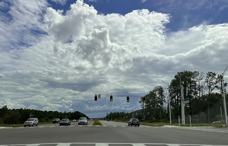
Choosing a Tampa Bay neighborhood: questions a listing cannot answer
Separate the place name from the address, then compare the everyday journeys and services that matter to you.
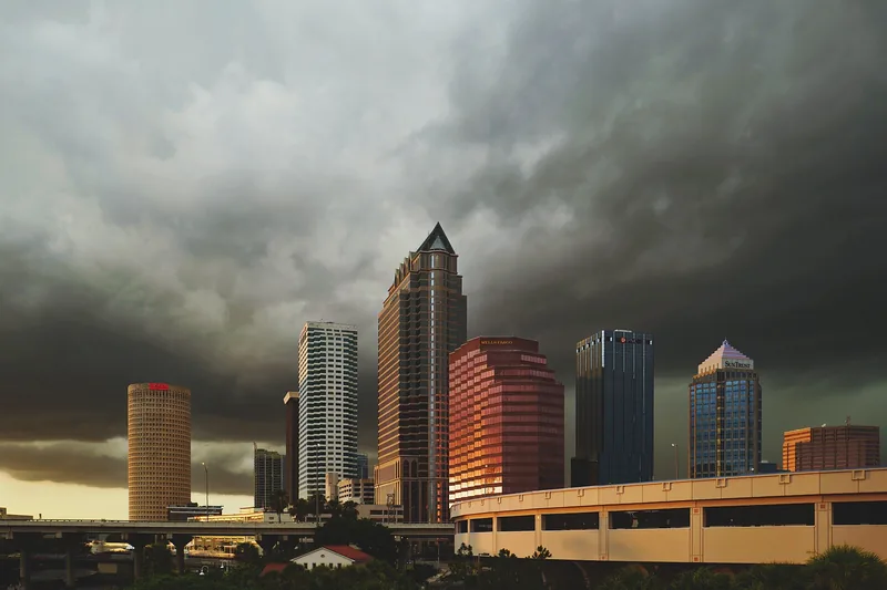
Getting around Tampa Bay: plan the actual journey
Match your destination to the right transport system and check both directions before committing to a day out.
Local sources & practical next steps
- City of Tampa — current neighborhood source record ↗
- City of Tampa — South Seminole Heights ↗
- City of Tampa — recreation centers ↗
- City of Tampa — park advisories ↗
- City of Tampa — neighborhood services ↗
- Hillsborough County Public Schools — district-linked school locator ↗
- Hillsborough County Public Schools — official district ↗
- City of Tampa — Rivercrest boardwalk renovation project ↗
- HART — current trip-planning tools ↗
- City of Tampa — Rivercrest Park official inventory ↗
- Official local information ↗
- Find related places and mapped areas
- Explore Hillsborough event calendars
Use current city, county and operator information for an exact address, opening hours, service access and event details.