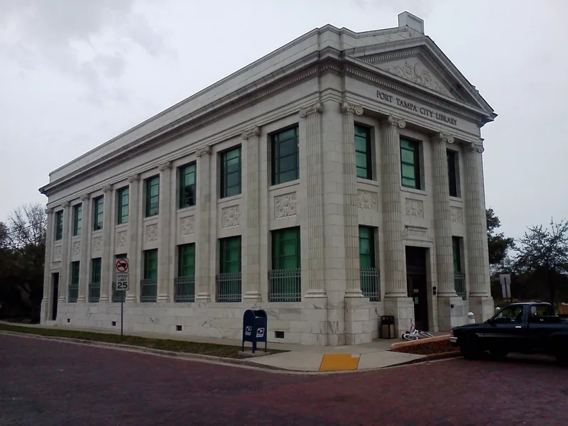
This edition follows the named Port Tampa City record in Tampa’s official neighborhood map. Association, property, historic, school and administrative boundaries can differ; use an address-specific source for the question involved.
Get to know Port Tampa City
Port Tampa City is a neighborhood in southwest Tampa with a name that can easily send a visitor to the wrong destination. It is not the same thing as the Port Tampa Bay authority or its commercial terminals around the broader city. The neighborhood’s own history reaches back to Henry Plant’s railroad and an earlier independent town. Today, the library, residential streets and public recreation sites provide more useful anchors for a visit than a generic search for the port.
Start with Port Tampa City Library at 4902 West Commerce Street, checking current opening and event information. For outdoor time, choose a separate named city park or Picnic Island destination and check its access before leaving. Do not treat MacDill Air Force Base as an extension of a neighborhood walking route.
Start with these local connections
- Plant railroad and annexation history
- Commerce Bank library
- Soulwalk and western waterfront access
From railroad terminus to Tampa neighborhood
The city traces Port Tampa City’s beginnings to the end of Henry Plant’s railroad in 1887. Hotels once stood by the dock, and the area became associated with the Spanish-American War’s embarkation activity. Tampa annexed the town in 1961. That history explains the enduring City in the name without implying that a separate Port Tampa City municipal government still provides services. For present-day civic matters, begin with Tampa and the relevant county or district office.
A bank building that became a neighborhood library
The library system describes the branch’s origins in the Port Tampa City Woman’s Club, which operated the library before the Tampa system assumed responsibility in 1961. In 1998, the branch moved into the restored Commerce Bank Building. Its neoclassical exterior, marble base and glazed terracotta make the building a distinctive local stop. Look up current hours, services and scheduled programs directly with HCPLC rather than assuming that an attractive historic exterior means the building is open when you arrive.
Add the people missing from a simple railroad story
The city’s Soulwalk material documents Port Tampa City’s African American community, including railroad and port workers, churches, a school and a cemetery. Its route identifies Old Saint Mark Community Aid Center and Frederick Douglass Memorial Community Park among the neighborhood’s historical places. Use the city interpretation to understand their significance, while checking each site’s current access separately. The former cemetery location is now inside MacDill’s gates; a heritage map is not public-entry permission to the base.
Choose the particular park and waterfront activity
Our orientation point identifies Port Tampa Park at 4702 West McCoy Street. Picnic Island Park is another destination farther toward the western waterfront, reached by its own road and entrance. The city’s boat-ramp directory lists a ramp at Picnic Island; boating, shoreline recreation and a library visit each need their own parking and access plan. Confirm current conditions, signs and the operator before setting out. Industrial shorelines, residential property and military land are not made public by proximity to the bay.
For everyday errands, choose the exact Commerce Street, West Shore Boulevard or Interbay-area address rather than following a broad port label. Families should verify schools using the full home address and relevant school year. Tampa’s address-based neighborhood guide provides the civic starting point, while recreation enrollment belongs with the actual facility or league. Keep the neighborhood’s rich history alongside these practical checks instead of allowing it to stand in for current services.
Neighborhood questions
Is Port Tampa City a separate city government today?
No. The city’s history records annexation by Tampa in 1961; use current Tampa and county resources for civic questions.
Can I visit every location on the Soulwalk map?
Check each location. The former cemetery area is within MacDill Air Force Base and the heritage map does not grant public entry.
Schools, civic contacts & everyday resources
Use your full street address for school and electoral questions. A city name, neighborhood label or nearby landmark does not establish the assignment for every home.
Official resource paths reviewed November 10, 2026. No household school or representative assignment is asserted here.
Find your bearings
Port Tampa Park is the orientation point on this map. The marker identifies one place; it does not draw the neighborhood, school zone or property boundary.
Public-facility orientation only; use signed entrances and current operating notices. This point is not a water-access, parking, neighborhood or school-boundary claim.
Show the orientation map
Open a larger map ↗ · Official location source ↗ · Map data © OpenStreetMap contributors
Local information reviewed 2026-11-13. Photograph date and rights are recorded separately.
Useful reading
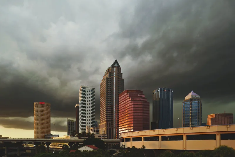
Getting around Tampa Bay: plan the actual journey
Match your destination to the right transport system and check both directions before committing to a day out.
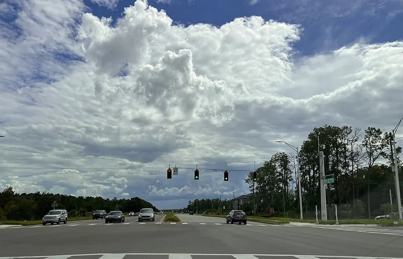
Choosing a Tampa Bay neighborhood: questions a listing cannot answer
Separate the place name from the address, then compare the everyday journeys and services that matter to you.
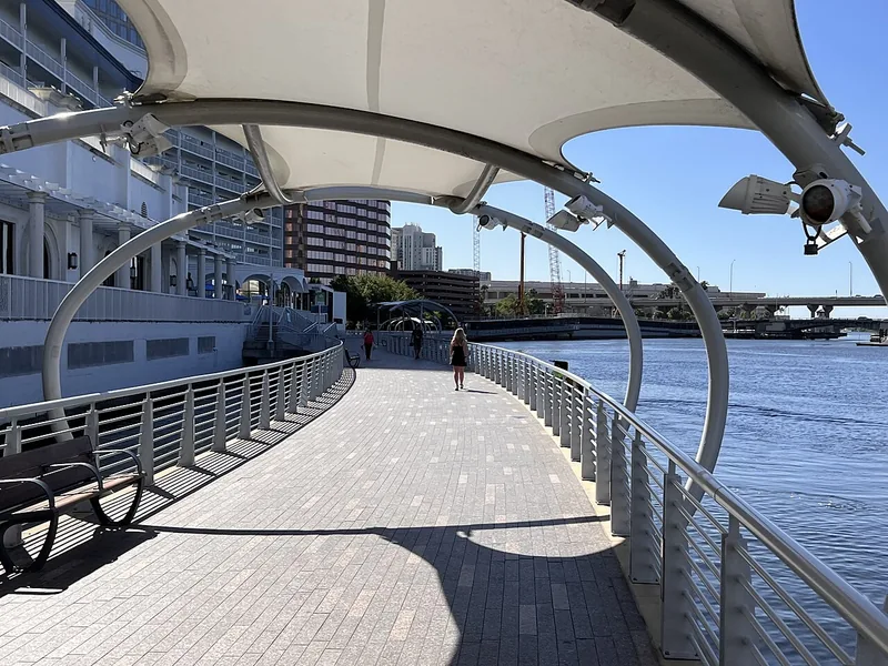
A better first day along Tampa’s Riverwalk
Choose a manageable stretch, connect the waterfront to nearby stops, and leave room for weather and the return trip.
Local sources & practical next steps
- City of Tampa — exact Port Tampa City neighborhood record ↗
- City of Tampa — Port Tampa Park facility point ↗
- City of Tampa — Port Tampa ↗
- HCPLC — Port Tampa City Library ↗
- City of Tampa — Soulwalk: Port Tampa City ↗
- City of Tampa — Boat ramps ↗
- City of Tampa — Neighborhood services by address ↗
- Official local information ↗
- Find related places and mapped areas
- Explore Hillsborough event calendars
Use current city, county and operator information for an exact address, opening hours, service access and event details.